 |
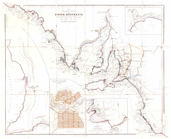
Arrowsmith, John. The maritime portion of South Australia.This map of the southern portion of South Australia was originally published by John Arrowsmith in 1839 as part of his London atlas. This facsimile edition of the map was published in 1976 by the Libraries Board of South Australia. This map was drawn from the surveys of Captain Matthew Flinders and of Colonel William Light, Surveyor General for the colony of South Australia. No additional surveying of the South Australian coast was carried out between Flinders' and Light's surveys. Inset maps include: 'Sketch of Encounter Bay', 'Sketch of Nepean Bay and Kingscote Harbour', 'The City of Adelaide, with the acre allotments' and '[The Gulf St Vincent]'. Click here for catalogue information on this item.
A copy of this item may be made for private use, but further publication requires the permission of The State Library of South Australia. |


