
|
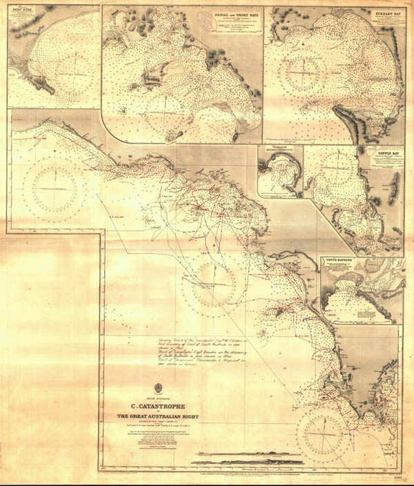
British Admirality. C. Catastrophe to the Great Australian Bight. Chart No. 1061, 1875-1913.Chart no 1061 (1875-1913) is a superseded British Admirality chart, including navigation details with compass rose and detailed soundings for various ports, that has been closely hand annotated with the separate tracks of Matthew Flinders in the Investigator in 1802, Nicolas Baudin in Le Geographe in 1802, and Louis de Freycinet in the Casuarina in 1803. Note the number of French place names along this stretch of coast which acknowledge the French survey work in this areas subsequent to Flinders initial charting.
This item is reproduced here with kind permission of the The Royal Geographical Society of South Australia Inc. A copy may be made for private use, but further publication requires the permission of the Royal Geographical Society of South Australia Inc.and The State Library of South Australia. |


